University of Science and Technology, The University of Danang propose solutions to prevent flooding in Tam Ky urban area and its vicinity
On November 25, 2021, the People's Committee of Quang Nam province in collaboration with the University of Science and Technology, the University of Danang held a workshop "Evaluating the current situation and determining the causes of flooding in Tam Ky city and its vicinity". Chairman of Quang Nam Provincial People's Committee - Le Tri Thanh and Assoc. Prof. Dr. Doan Quang Vinh - Rector of University of Science and Technology, University of Danang co-chaired the workshop.
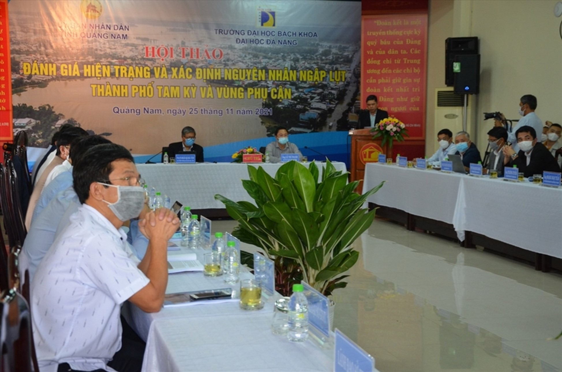 Chairman of Quang Nam Provincial People's Committee - Le Tri Thanh and Assoc. Prof. Dr. Doan Quang Vinh - Rector of Da Nang University of Science and Technology co-chaired the workshop
In fact, in recent years, when there are large-scale heavy rains, many streets and residential areas in Tam Ky area are deeply flooded. In Tam Ky and surrounding areas, heavy rain usually occurs from mid-September to mid-December every year.
According to the Quang Nam Hydrometeorological Station, in the period 1999 - 2021, there were 14 floods on Tam Ky river (on average, 1 flood occurs every 2 years). In addition to the historic flood in November 1999, in 2018, 2020 and 2021 consecutive floods appeared on alarm 3, causing widespread flooding.
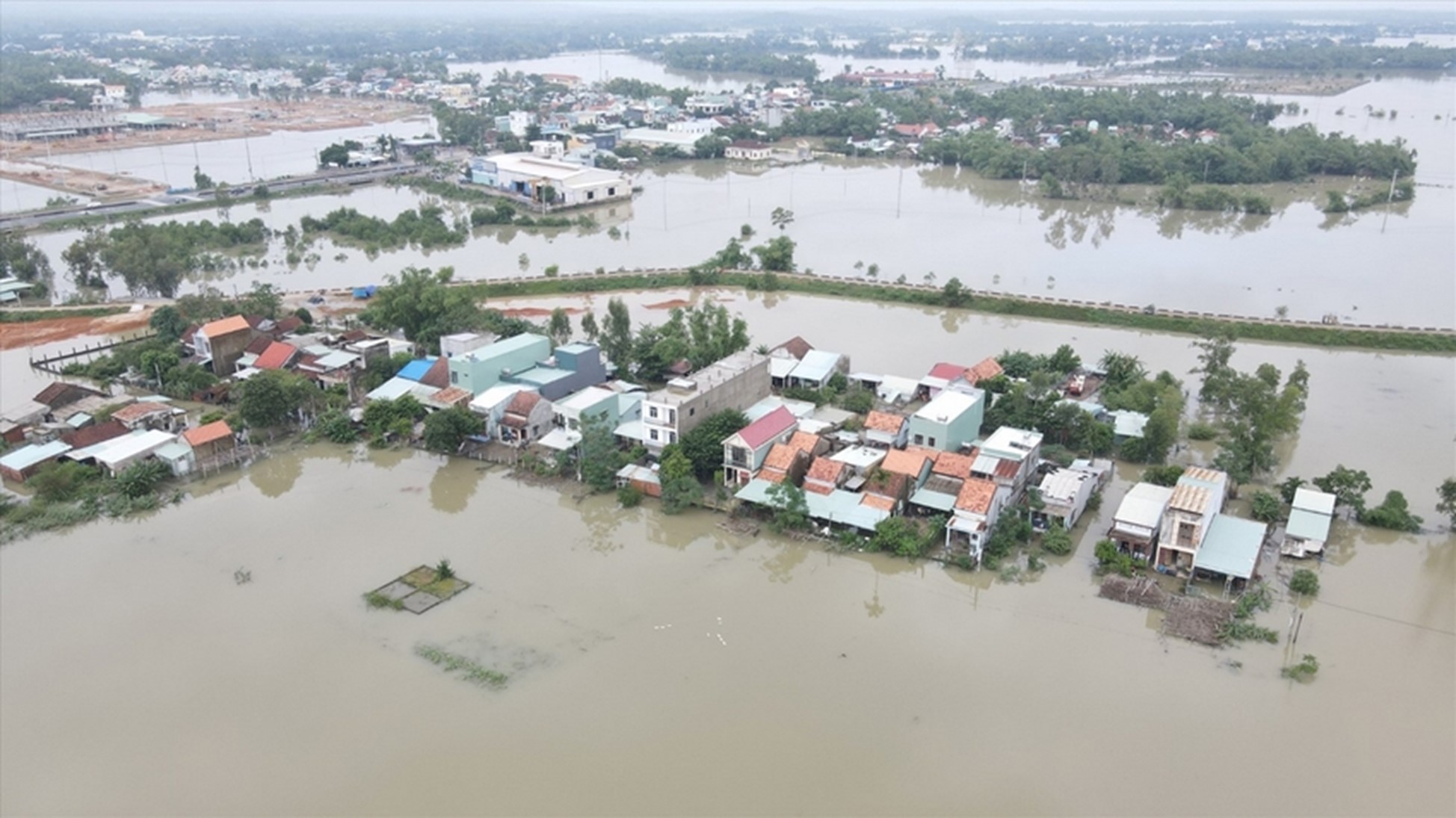 Flooding in Tam Ky city and surrounding areas occurs frequently when it rains heavily
Assoc. Prof. Dr. Nguyen Chi Cong - Dean of Faculty of Hydro-Construction, University of Science and Technology, University of Danang, chair of the topic "Assessment of inundation changes and proposed solutions to flood response in Tam Ky City in the context of urbanization and climate change", identifying many unfavorable factors causing local flooding in Tam Ky urban area and surrounding areas. According to Assoc. Prof. Dr. Nguyen Chi Cong, Tam Ky with natural tectonic direction is unfavorable for drainage and flood drainage. The evidence is that the river slope is small (I<0.013%); low elevation of riverbed (-2.0 to -0.6m); plus being directly affected by the tidal level.
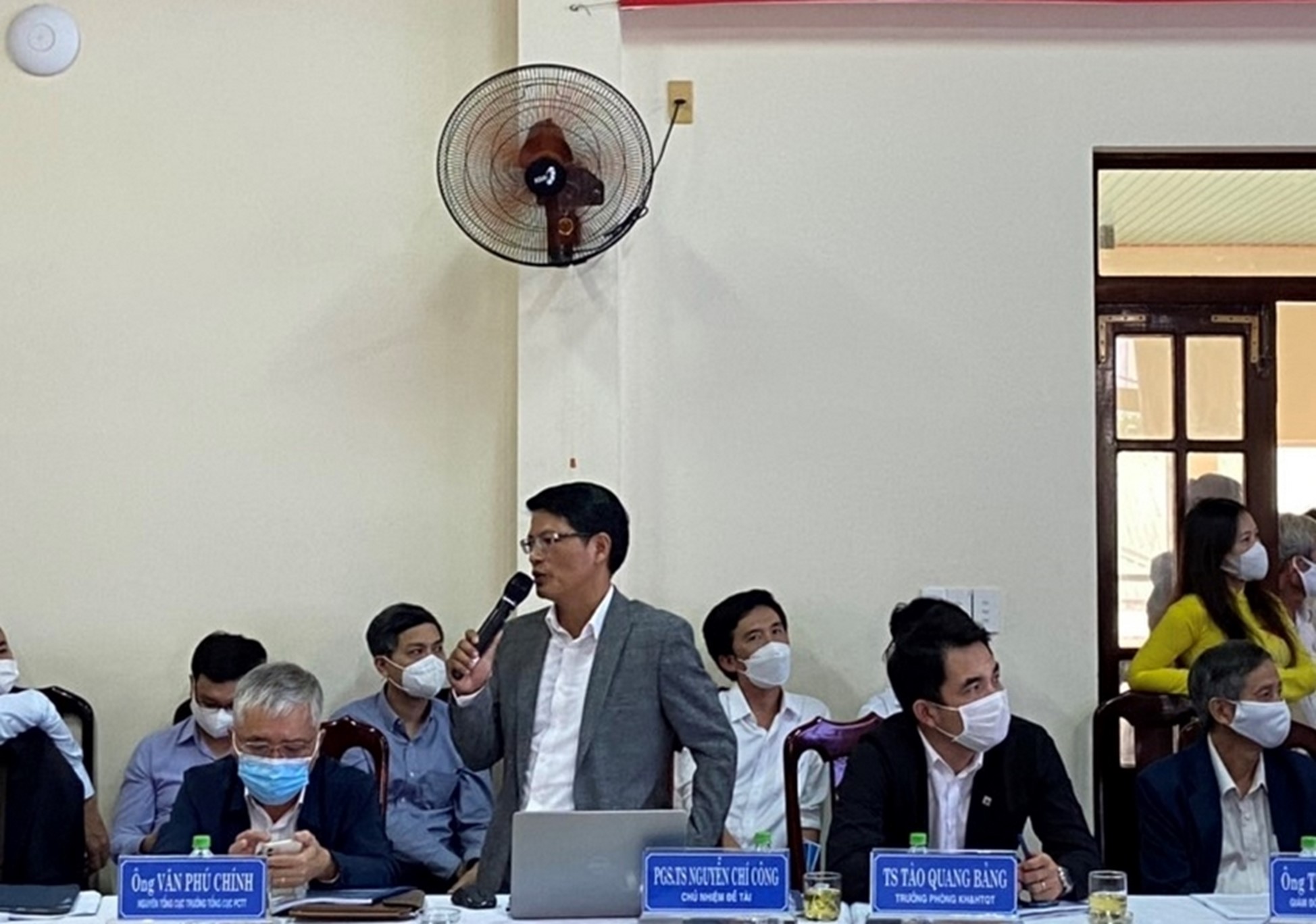 Assoc.Prof.Dr. Nguyen Chi Cong - Dean of Faculty of Civil Engineering, University of Science and Technology, University of Danang, presented the research results of the topic at the Workshop.
It is easy to see that although Tam Ky city has built river embankments and lakes to regulate water, these works are almost not effective when there is flood in the river and heavy rain in the city. In fact, the projects of connecting technical infrastructure in Tam Ky urban area are unfinished and lack of synchronization.
Chairman of Tam Ky City People's Committee - Bui Ngoc Anh said that projects have been built in recent years such as the main road from Tam Thang Industrial Park to Ky Ha port and Chu Lai airport; Dien Bien Phu Street; The project of Chien Dan Market..., has affected the flood situation of Tam Ky.
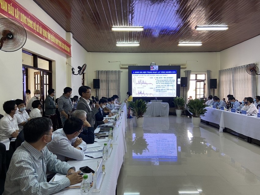 Assoc. Prof. Dr. Nguyen Chi Cong analyzes the causes and proposes solutions to prevent flooding in Tam Ky city and surrounding areas.
Assoc. Prof. Dr. Nguyen Chi Cong further analyzed that the flood drainage capacity of the river system, due to the narrowing of the river bed and the reduced water reserve from the leveling and elevation of low-lying areas, is also one of the problems of deep flooding in Tam Ky.
Proposing solutions to prevent flooding, Assoc. Prof. Dr. Nguyen Chi Cong said that the city must determine flood drainage corridors for Tam Ky, Ban Thach, Dam and Truong Giang rivers, to ensure that the designed flood volume can be drained with a certain flood frequency. The determination of the flood drainage corridor for the river basin in the study area is to calculate the cross-sectional width of the river section to ensure drainage of the designed flood discharge.
In addition, it is necessary to determine the rising water level at the calculated cross-section when there are works and residential areas to serve as a basis for determining the high level of flood control planning and residential area planning. Another solution mentioned by the University of Science and Technology, the University of Danang is flood diversion and flood control on the Ban Thach River and the western lowlands of Tam Ky.
“We propose to lower the flood water level on the Ban Thach river by dividing the flood from this river in the Thang Binh area to the Truong Giang river in order to reduce the concentrated flow on the Ban Thach river at the beginning of the city as it is now. Flood distribution from Dam river lake to Truong Giang river. On the other hand, it is necessary to control floods from the low-lying basin west of Nguyen Hoang Street and the North-South railway to Nguyen Du, Duy Tan and Nga Ba lakes by diverting the flow to Tam Ky river and Tay Yen stream. , Assoc. Prof. Dr. Nguyen Chi Cong stated the solution.
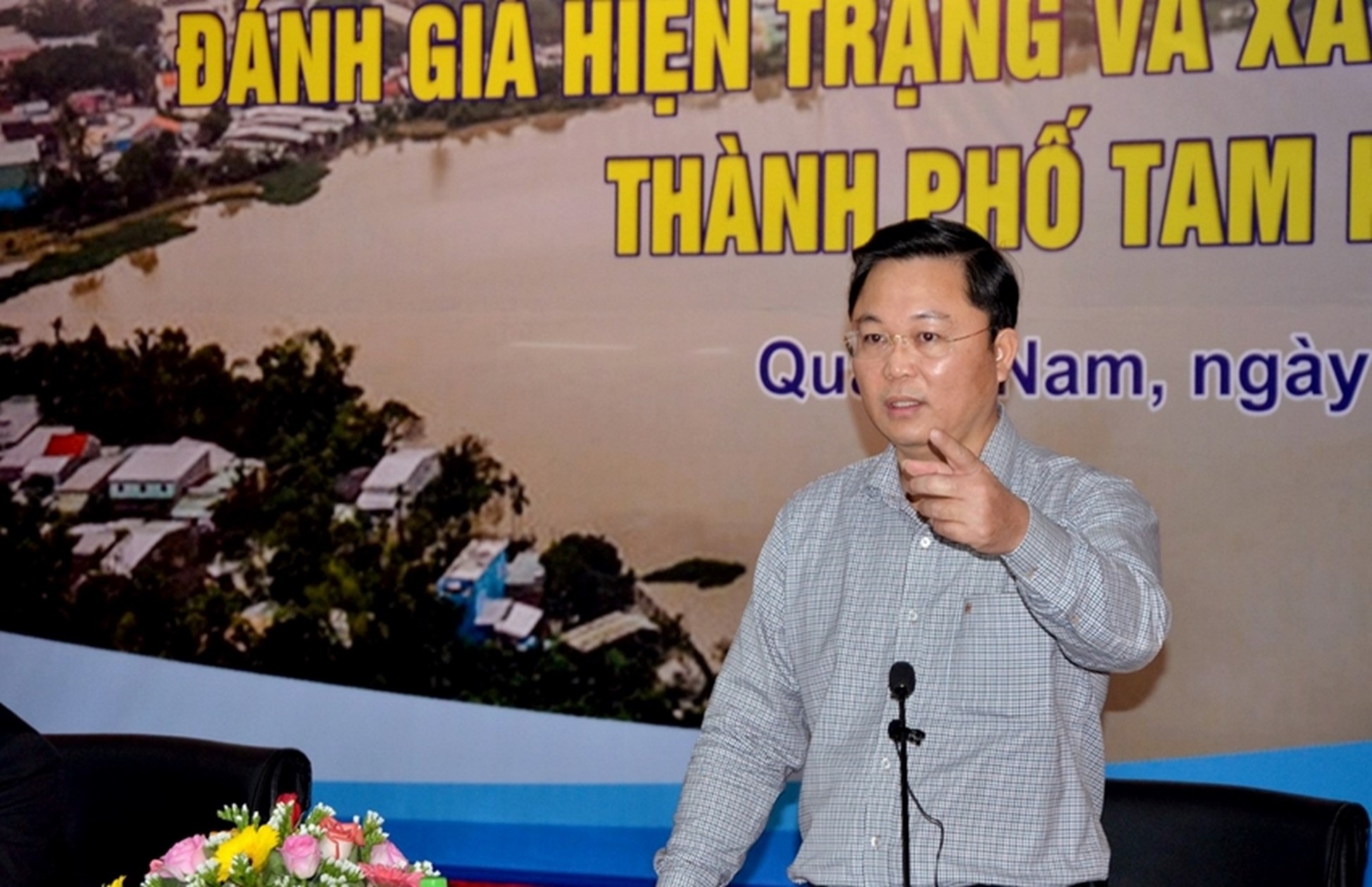
Chairman of Quang Nam Provincial People's Committee - Le Tri Thanh concluded at the Workshop
Concluding the workshop, Chairman of Quang Nam Provincial People's Committee - Le Tri Thanh emphasized that determining the cause of flooding in Tam Ky and the surrounding area is a work that requires science, it is necessary to enlist multi-dimensional criticism of experts in construction, irrigation and many different related industries.
Tam Ky City People's Committee proposed that the province should soon dredge and clear the flow of rivers Truong Giang, Tam Ky, Ky Phu, and Ban Thach to increase the possibility of flood drainage to An Hoa estuary (Nui Thanh). Invest in a project to improve flood water drainage capacity for Tam Ky, which includes the list of upgrading and renovating the inner city drainage system; regulating lake and drainage channel to the west of the inner city; improve flood drainage capacity of Song Dam lake to Truong Giang river; to build embankments and roads along Tam Ky river with a total capital of about 1,851 billion VND.
Editor: Center for Learning Materials and Communication, University of Science and Technology, University of Danang

 English
 Tiếng Việt
